With recent developments in UAV and laser scanning technology, there has been a lot of confusion about the two types of point cloud scanning and modelling. These two technologies – LiDAR and photogrammetry – have some similarities, but the differences in the final product are significant enough to require an explanation of the two. That’s why we’ve put together this article for you on the differences between LiDAR and photogrammetry point cloud modelling.

An easy-to-use laser scanning system
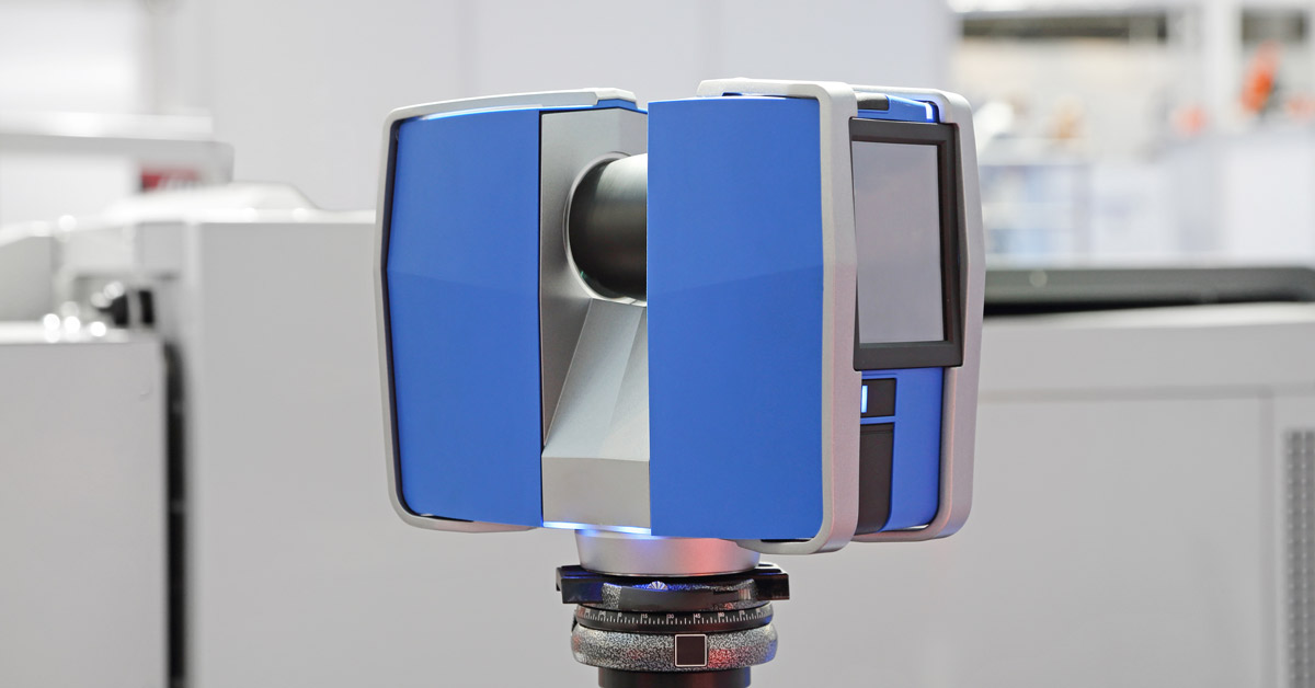
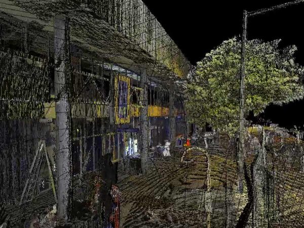
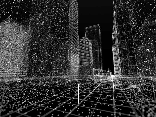
LiDAR, the point cloud method we use at Spectrum, stands for Light Detection and Ranging. Our advanced laser scanners, set up in various locations, actively emit millions of laser pulses. These pulses reflect off objects back to the scanner. A camera-based sensor then calculates the distance between the scanner and the target. Using this method, LiDAR can map even the smallest of details in any size area.
Photogrammetry scanning works in a similar way to the human eye. A drone or aeroplane is used to take thousands of photographic images of an area. These photos slowly build into a 2D or 3D model, with a well-coloured scan of the area.
High-accuracy surveying with a wide range of uses
If you want highly-accurate information about your site or land, then LiDAR is the best choice. LiDAR uses the speed of light to measure distance, meaning that a precise 3D point in space can be delivered right out of the box. Unlike photogrammetry, laser can penetrate tree canopies and doesn’t need ambient light to scan the area, making LiDAR perfect for forestry, mining and construction surveying.
While progress has been made to make photogrammetry scanning more accurate, it still has a long way to go. If you want photogrammetry point clouds that are as accurate as laser, the scanning and modelling process could take twice as long as LiDAR.

Versatile 3D models with in-depth point clouds
When you use lasers to survey an area, the scanners give you the ability to measure an area along several points. A team of expert point cloud surveyors can interpret the data to focus on specific areas. This means if you are surveying a forest, for example, you can gather cloud points of the treetops, the trunks, and the ground. Points can be removed from a model, meaning you can model the entire scan or only certain parts, like the streams running through the forest or just the foliage of the canopy.
Photogrammetry can only create points based on areas illuminated by ambient light. This means, in our forest example, that only the treetops would be accurately represented in the model. All areas in shadow beneath the treetops, like the ground, would not be recorded and you would lose valuable data. However, photogrammetry is able to record the colour of an area, giving a colourised point cloud model that would work well with marketing material.
Innovative technology breaking down cost barriers
For years, photogrammetry was considered the only affordable point cloud surveying method. However, with recent innovations in ground-based lasers and in UAV drone technology, LiDAR has become accessible for a wide range of clients, including mum-and-dad renovators and small businesses.
If you are looking for precise and accurate surveying of your site or property, with the benefit of versatile and in-depth 3D models, then LiDAR point cloud modelling is for you. Using the latest in 3D scanning technology and processes, our team of expert spatial data surveyors and analysts can help you get the accuracy your project needs. Contact Spectrum today for a free demonstration, or find out more about our point cloud process.


