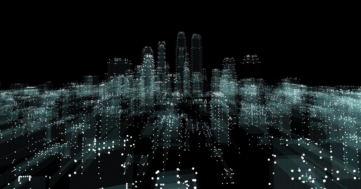
Surveyors. It’s time to talk about point cloud modelling. 3D laser scanning can take a lot of the grunt work out of your job. But we know what you’re thinking. Purchasing and learning how to operate laser scanning technology is a massive investment. And one that might not make sense for you if you only need to use it every so often. So why not subcontract full scan to BIM services? In this article, we discuss the types of projects that can benefit from point cloud modelling, and how outsourcing your high definition surveying and data interpretation needs can save you time and money.
Fast-track projects with 3D laser scanning.
Laser scanning can be ten times faster than traditional methods of surveying. It requires less time spent on site, little manpower and the collection of data is quick. Instead of deploying a whole team of surveyors to map out an area, you can rely upon one or two people and a high-tech scanner to get the job done. With 3D laser scanning, you can fast-track your project and save on human resources.
Cover more ground with better precision.

Point cloud surveying is championed for swift data collection over extensive areas while ensuring minute detail. Laser scanners can cover kilometres of built environments and topography, capturing a huge amount of data every second. If you have a massive area to map and a looming deadline, high definition surveying is the best option available.
Full scan to BIM services and beyond.
Some surveyors may know how the basics of operating laser scanning technology, but when it comes to data interpretation, specialised skills are critical. Raw point cloud data needs to be processed in BIM software for it to be of any practical use. The analysis of data can be an intricate business and must be carried out correctly to achieve a reliable 3D model of the area surveyed. The best way to gain the most accurate results is to subcontract full scan to BIM services. But sometimes even this isn’t enough to gain unequivocal quality assurance. At Spectrum, our point cloud modelling specialists provide scan to BIM services but go one step further. We don’t just hand over your model and wish you luck. We undergo a process that double and triple checks the accuracy of the spatial location of every surface and structure within the model. When subcontracting point cloud modelling services to Spectrum, you can rest assured that the spatial certainty of your model is 100% verified.
Applications that can benefit from point cloud surveying.
You may come across certain jobs that will greatly benefit from point cloud surveying, and the creation of a 3D model for use in design, construction and comparative analysis. High definition surveying can capture the following:
- Heritage facades and documentation
- Data capture within confined spaces
- 3D topographic modelling
- Mechanical and Electrical Plant (MEP) documentation
- Mapping of accident and incident sites
- Measuring structural elements
- Measuring built forms and environments
Subcontract point cloud modelling for one-off jobs.
High-quality laser scanning technology and operational training can be a considerable investment. But you can receive these services without breaking the bank. For one-off jobs, why not consider hiring a specialist in point cloud modelling to assist you with your next project? Subcontracting point cloud surveying is the most cost-efficient way to gain fast and incredibly accurate 3D models of built environments. Spectrum operates along Australia’s east coast and uses state-of-the-art laser scanning technology and data processing software to create the most precise models for our clients. Contact us today for a free demonstration or to discuss your upcoming project requirements.